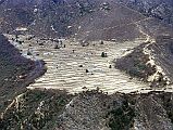


To Gokyo 1-2 Trail From Khumjung To Mong [3 of 22]
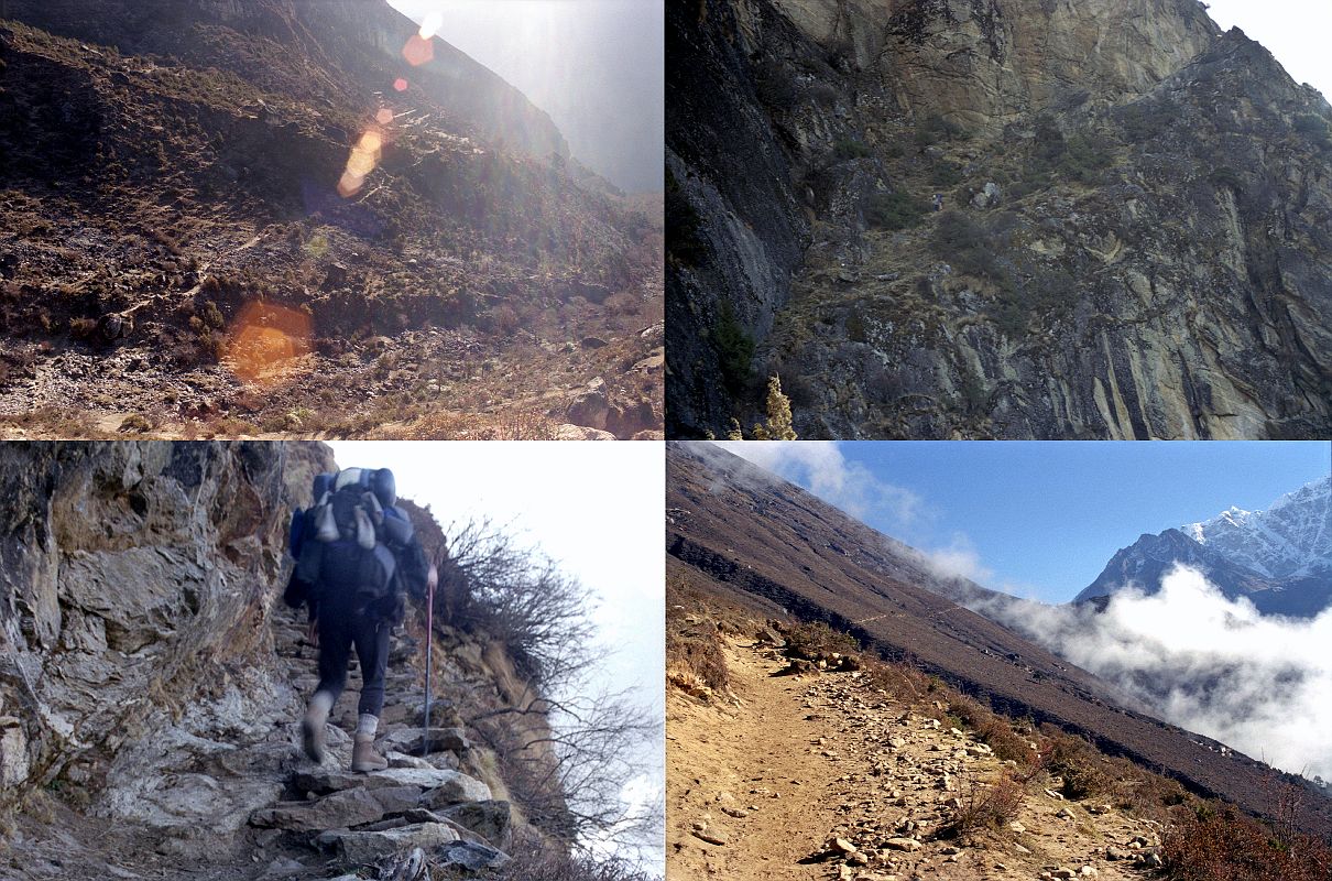
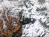
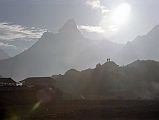
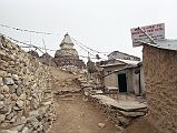
After fifteen minutes from Khumjung, I came to a fork in the path towards Mong - one leg went upwards on a steep staircase-like trail, the other traversed around the ridge. The upper path looked dangerous in parts, so I took the horizontal path. I continued on and walking around the corner could see the Gokyo valley starting to open up to my left. I watched with interest as a wall of fog rapidly ascended up the valley, and soon visibility dropped to a few metres
